 Catàleg local de Mallorca
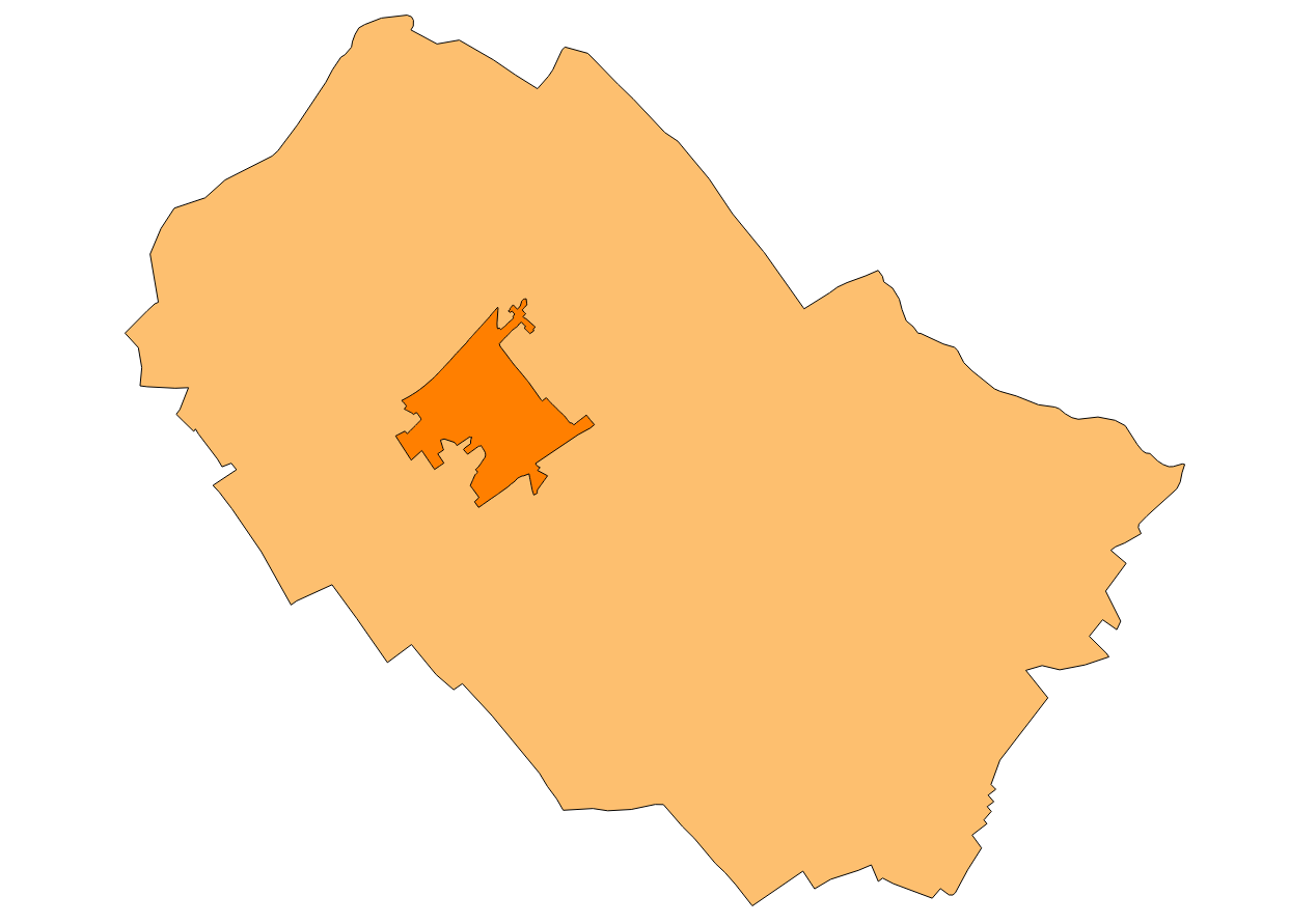
Ajuntament de Binissalem
Type of resources
Available actions
Municipios
INSPIRE themes
Keywords
Contact for the resource
Provided by
Years
Formats
Representation types
Service types
Scale
-
Web Map Service that allows access to the cartography of the managed areas of the municipality of Binissalem. Cartography extracted from the current urban regulations of Binissalem. The service contains the layer ForestAreaManagement and the layer ProspectingAndMiningArea contains the managed areas, with restrictions or some regulation, of Binissalem. The symbology associated with the layers is defined by the INSPIRE specifications. Access to this service is free as long as the Binissalem City Council appears as the owner of the data and the Consell de Mallorca as the owner of the service. Scale 1: 5,000.
-
Data set that contains the equipment of the Subsidiary Rules of the municipality of Binissalem of 2008 and buildings listed in the Heritage Catalog containing the 2008 Subsidiary Rules. The reference system: ETRS89. Projection system: UTM spindle 31. Storage format: PostgreSQL.
-
Data set containing the management areas of the municipality of Binissalem. The cartography was taken from the 2008 Binissalem Subsidiary Rules. The ForestManagementArea layer is a polygon layer and contains managed, restricted or regulated forest areas that follow the INSPIRE data model. The FloodUnitOfManagement layer is a polygon layer and contains flood risk areas that follow the INSPIRE data model. Scale 1:5,000. The reference system: ETRS89. Projection system: UTM spindle 31. Storage format: PostgreSQL.
-
Service of the theme Buildings of Annex III of INSPIRE of the town of Binissalem (view service, WMS)
Web Map Service that allows access to the cartography of the buildings of the municipality of Binissalem. Cartography extracted from a layer produced by the municipality of Binissalem. The service contains the general layer BU.Buildings contains the buildings of Binissalem. The symbology associated with the layers is defined by the INSPIRE specifications. Access to this service is free as long as the Binissalem City Council appears as the owner of the data and the Consell de Mallorca as the owner of the service. Scale 1: 5,000.
-

Cartography of the Historical Heritage Catalog of Binissalem definitively approved in 2008. These are buildings or elements that are protected by cultural or historical causes. The mapping of urban elements is at 1: 1,000 scale, while the cartography of rustic elements is at 1: 5,000 scale. The coordinate system: ETRS89 (EPSG: 25831). More information at http://www.ajbinissalem.net.
-
Data set that contains the types of qualifications of the urban land of the town of Binissalem. Scale 1: 1,000. The reference system: ETRS89. Projection system: UTM spindle 31. Storage format: DGN i SHP.
-
Cartography of the toponymy of the municipality of Binissalem. The names refer to the topics of the INSPIRE Directive Protected Places and Transport of Annex I of the INSPIRE Directive and Land Use of Annex III. Cartography generated in 2015. The sources are the Binissalem Subsidiary Rules of 2008 for the names of Protected Places and the CartoCiudad project, version 2012, for the names of Transports. The names of the urban elements are on a scale of 1: 2,000 and the names of the elements of rustic, on a scale of 1: 5,000. Reference system: ETRS89. Projection system: UTM fus 31. Storage format: PostgreSQL.
-
Data set containing the addresses of the urban center of Binissalem and a few kilometers points from the rustic area of the municipality. Cartography was extracted from the Cartociudad project of 2012, a state project that collects all spatial information related to directions and roads. The AD.Addresses layer is a layer of points and contains the addresses or portal numbers and various attributes that follow the Cartociudad data model and INSPIRE. Scale 1: 2,000. The reference system: ETRS89. Projection system: UTM fus 31. Storage format: PostgreSQL.
-
Web Map Service according to the INSPIRE profile of ISO19128 WMS 1.3.0 that allows access to the cartography that represents the transport infrastructure network of Binissalem, Mallorca, Balearic Islands Spain. The scale of representation is 1: 5000. Geographic information belonging to the Inspire annex is shown: 1) Transport networks. The layers of information are in accordance with the INSPIRE Directive 2007/2 / EC (name, title and style Inspire by default). The access or connection to this service, to obtain the functionalities is free in any case.
-
Web Map Service that allows you to access maps of the elements of sites protected by municipal regulations. The service contains the general layer called Protected. Sites where there are all protected elements, and also several layers according to the classification of protection, the Designation and the Designation Scheme. The symbolism associated with layers is defined by the INSPIRE specifications. Access to this service is free provided that the Council of Binissalem appears as the owner of the data and Consell de Mallorca as the owner of the service. The protected areas of the urban zones are at 1: 1,000 scale and the elements of rustic areas are at 1: 5,000 scale.